

The second international meeting of the pilot regions which proceeded in Dobbiaco/Toblach on April 22, 2010 bore its fruits. Indeed, the pilot regions adopted a common tool, entitled JECAMI (Joint Ecological Continuum Analysing and Mapping Initiative-Web services).
This instrument is proposed by the Swiss National Park in collaboration with the Arinas company;
The benefits of this initiative are numerous, indeed, it will make it possible the Pilot regions to apply a strategy harmonized in order to analyze the situation of ecological connectivity.
The pilot regions will be able to identify the ideal and priority surface to establish future measures of connectivity, then to make use of it like support of communication on Internet for the various users, and authorities.
This easily accessible tool will bring a visibility of connectivity. It will be possible to visualize at the same time the habitats of the species and the results of connectivity.
Econnect awaited an effective tool to incorporate and to combine the space results of the project and a facilitated access of all the stakeholders concerned, it’s done!
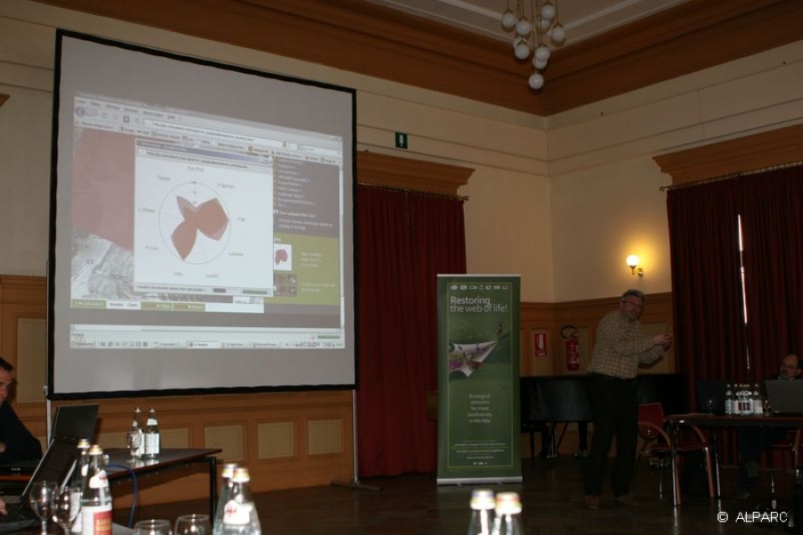
Ruedi Haller from the Swiss National Park presents the cartographic tool JECAMI
http://www.alparc.org/the-alparc-network/a-spatial-network/project-econnect
- Link(s) :
-
- Alpine Space ETC Programme
- Project ECONNECT A project of the ETC programme Alpine Space